REPRESENTATIONAL IMAGE | PTI Image
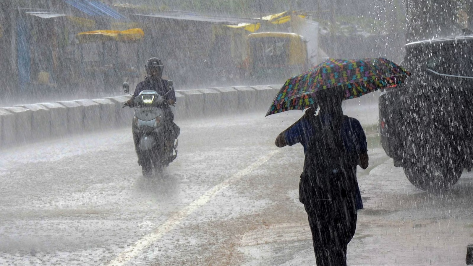
Guwahati, Sept. 24: Guwahati is expected to see increased rainfall starting from today. The Indian Meteorological Department (IMD) has forecast “scattered to fairly widespread” rainfall across Northeast throughout the week.
With temperatures hovering around 38 degrees Celsius in several areas, the rain is likely to bring a welcome drop of 2 to 4 degrees, easing the intense heat. This weather change is anticipated to provide respite to residents after enduring the sweltering conditions of the past few days.
“The embedded upper air cyclonic circulations, one over West central Bay of Bengal and another over south Coastal Myanmar & neighbourhood in the east-west trough has merged and seen as a cyclonic circulation over Central Bay of Bengal extending up to 5.8 km above mean sea level tilting south westwards with height. Under its influence, a low-pressure area is likely to form over West central Bay of Bengal & neighbourhood during the next 24 hours," an IMD update said on Monday.
This could be the last weather system bringing the final monsoon surge of the season. Rainfall is predicted to gradually increase starting Tuesday, with heavier showers expected on September 25 and 26. Notably, Assam experienced record-breaking heat on Monday, with several places seeing their highest-ever September temperatures.
On Monday, Guwahati recorded 39.3°C, Jorhat reached 37.9°C, while Dibrugarh and North Lakhimpur soared to 39.5°C and 39.6°C, respectively. North Lakhimpur topped the charts, closely followed by Dibrugarh, just 0.1°C lower.
Meanwhile, Assam has received a shocking 75-year-old low rainfall in September. The deficit - from 61 % to 99 % - has also led to a corresponding rise in temperatures by 5 to 7 degrees.
According to Prof RL Deka, Head of Agro-Meteorology, Assam Agriculture University (AAU), the average normal rainfall in the state during September is 280 mm.
“From September 1 to 21, 2024, however, rainfall has been largely deficit in most districts of Assam including Chirang, Baksa, Bongaigaon, Nalbari, Barpeta, Kamrup (M), Kamrup, Darrang, Udalguri, Nagaon, Morigaon, Sonitpur, Dhemaji, Tinsukia, Dima Hasao, Jorhat, Majuli, and Golaghat,” he said.
The rainfall pattern in the state has changed significantly in recent years, with there being a decrease in monsoon rainfall in Golaghat (88.7mm/ decade), Barpeta (127.7 mm/ decade), Dhubri (561.9mm/ decade), Nagaon (118.5 mm/ decade), and Tezpur (118.6 mm/ decade), primarily due to a significant deficit in July and September rainfall.
Additionally, the pre-monsoon, post-monsoon, and winter seasons have also experienced a declining trend of rainfall in the state from 1991 to 2020.
“The change in the mean annual total rainfall in Assam became prominent only after 1993. Before that, the mean annual rainfall in the state was 2,325 mm and after 1993, it reduced to 2,116 mm, as indicated by a recent statistical analysis conducted over 118 years (1901-2018). However, no such significant change point was observed during the monsoon rainfall. On the other hand, there has been a significant change in winter rainfall since 2010. Before 2010, winter rainfall was 70 mm, but after the change point, it decreased to 30 mm, posing a serious threat to rabi crops,” Prof Deka said.
The State has also warmed by 0.90 degree Celsius between 1986 and 2015, mainly due to a significant increase in maximum temperature (0.41 degrees Celsius/ decade) - being double to that of minimum temperature (0.20 degrees Celsius/ decade) – and leading to an increase of warmer days and reduction of cooler nights.

